Frequently Asked Questions about Ashland Avenue & Clark Street
What is it like to live in Ashland Avenue & Clark Street, Chicago, IL?
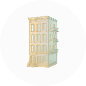
The area around Ashland Avenue and Clark Street offers a mix of residential and commercial spaces. It has a diverse community with various dining and shopping options nearby. Public transportation is accessible, making it easy to get around the city.
Is Ashland Avenue & Clark Street, Chicago, IL expensive?
The area around Ashland Avenue and Clark Street is moderately priced compared to other parts of Chicago. It features a mix of housing options, from apartments to single-family homes. Prices can vary based on the specific block and amenities nearby.
What is the weather of Ashland Avenue & Clark Street, Chicago, IL?
The area experiences cold winters with snow and chilly winds. Summers are warm and can be humid. Spring and fall bring pleasant, mild temperatures. Weather conditions can change rapidly throughout the year.
How safe is Ashland Avenue & Clark Street, Chicago, IL?
The area around Ashland Avenue and Clark Street has a mixed safety record. It experiences both busy commercial activity and residential life. While some parts are considered safe, others may have higher crime rates. It's important to be aware of your surroundings.